Saturday, 29 February 2020

Cambridge GA GeogMeet 2020

One for Cambridgeshire teachers and students in particular, but others welcome I'm sure.
Organised by James Riley at the Perse School. Contact details below.

Poster below with all the details. Click for biggery...

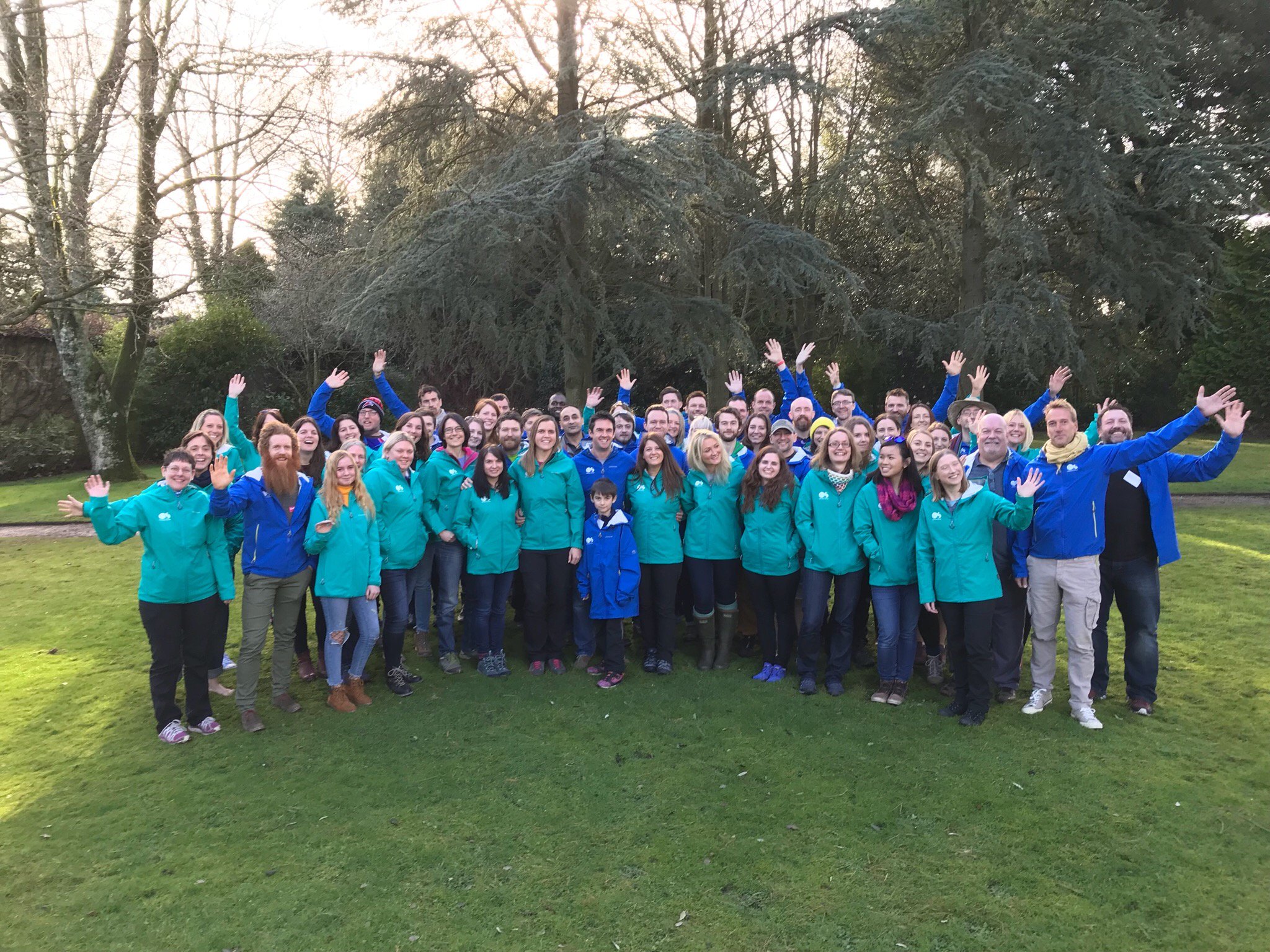
GetOutside Champions - the end of the adventure

Image

Today is my last day as an OS GetOutside Champion


GetOutside_dual lock-up primary_colour_rgb

I have loved every minute of my time working with the OS over the last two and a bit years, to promote outdoor activity and particularly within the education community. I've enjoyed conversations with the public prompted by my branded gear and equipment, and at various events. I've contributed blog posts and other information to OS websites and blogs. I've been able to offer discounts on OS Maps to hundreds of people, and spoken about the benefits of OS Maps and digital products such as Digimap for Schools and Data Nation. I helped promote the programme at various national and local events, and found myself in the local press several times.

One of the highlights was seeing myself in the pages of the 2nd OS Puzzle Book, this time a trail through the UK, with my thoughts on the East of England.
It's still available from all good book shops, and supermarkets...


A new group of OS Champions has been recruited, and they will meet for the first time next month to start their adventure.

I wish the next generation of GetOutside Champions all the best for their time 'in office' and 'in orange'.

I've made lots of new friends and contacts and will continue to engage on social media, and follow their adventures, and also to GetOutside of course.

The new Champions are in for a great time (and some free swag - I wear my Stance socks almost every day for example)

But for now, it's time to hang up my jacket... 


Come and work with us...

Future Food

For those who are putting together a presentation on feeding the world in 2050, it's important to use strong images.
There are plenty in this piece in the 'Geographical' magazine on the Future of Food.

web shutterstock 526255060

Friday, 21 February 2020

what3words

Delighted to see that following our visit by Jack Waley-Cohen we are featured on the what3words website. They have also started a new Slack community area focussing on Education. I am preparing some ideas for this.

Wednesday, 19 February 2020

Job vacancy - come and work with us

Image may contain: textOccasionally, a job appears in the school where I work, and in the department where I work...
There's one free again at the moment.
We are after someone to work in the Senior school in particular, who is a strong 'A' level practitioner, through GCSE and down to KS3 in the Junior School potentially. There will also be some wider contribution to the school community too of course - sport perhaps, or some other skill you have.

Full details are on the school website.

You have until the 3rd of March to apply, and interviews are held on the 10th of March.
Good luck!

Sunday, 16 February 2020

Learning from Ghent

Birmingham has announced that it is exploring options to reduce its transport issues, which will include removing most traffic from the city centre.
The plan is apparently modelled on the Belgian city of Ghent, also spelled Gent.

I've visited Ghent several times over the years, and always been impressed by the efficient tram network, large number of cyclists, and general air of calm. The main buildings in the city centre are visible because they are not surrounded by cars.


Image: Alan Parkinson

The image above shows the absence of traffic other than bicycles and trams / buses for the most part in the city centre.

Friday, 7 February 2020

EV car charging points

A map made by Steve Attewell using MapBox.
Here's the East of England's charging points - quite a few gaps in the network...


I'm attending a Guardian Mapping course over half term, and am hoping to get the skills to produce something like this.

It has an excellent description:

Everything happens somewhere. That’s geography. It’s hard to think of any problem or opportunity that exists, that doesn’t contain an inherent value or have a geospatial value. Geography is social, a form of visual communication, and maps are incredible sources of storytelling.
If you want to unlock the endless possibilities of geography and the mystery of map-making, all you need is your curiosity and creativity (and a laptop, if you like) - and to come to this class. With Paul Naylor and Charley Glynn, visual data design consultants for Ordnance Survey, you will be taken through the theories behind the art of cartography, as well as how maps can be the foundation of any narrative - helping you to convey your message quickly, clearly and with great impact.

Antarctic temperature record


This is not ideal...

Monday, 3 February 2020

Organic vs Intensive

We use this video to consider the differences between organic and intensive farming.

We also let Joe Rolfe tell us how he uses and encourages beneficial insects to protect his carrot crop.

Sunday, 2 February 2020

Thought for the Day

"It’s said that Nero fiddled while Rome burned. 
What are we doing while the planet is burning? 
So blinded by our success as a species, we’re preoccupied by our own amusement, comfort, hyperconsumption, businesses and politics.
We proceed down this path at our peril."

David Suzuki

Landscape Paintings