Many people have been waiting for this release as it is the first time that particular questions were added to the official Census form and therefore data was collected at a national level.
I mentioned this in a previous post, which considered whether it was time to reevaluate the traditional population pyramid with its gender binary structure.
The article provides a useful summary of related terms. See below:
LGBT+ is an "inclusive" way to represent all the different identities in the longer acronym but here's a breakdown of what each of the letters in LGBTQQIAAP mean.
L - lesbian: a woman who is attracted to other women
G - gay: a man who is attracted to other men or broadly people who identify as homosexual
B - bisexual: a person who is attracted to both men and women
T - transgender: a person whose gender identity is different from the sex the doctor put down on their birth certificate
Q - queer: originally used as a hate term, some people want to reclaim the word, while others find it offensive. It can be a political statement, suggest that someone doesn't want to identify with "binaries" (e.g. male v female, homosexual v straight) or that they don't want to label themselves only by their sexual activity
Q - questioning: a person who is still exploring their sexuality or gender identity
I - intersex: a person whose body is not definitively male or female. This may be because they have chromosomes which are not XX or XY or because their genitals or reproductive organs are not considered "standard"
A - allies: a person who identifies as straight but supports people in the LGBTQQIAAP community
A - asexual: a person who is not attracted in a sexual way to people of any gender
P - pansexual: a person whose sexual attraction is not based on gender and may themselves be fluid when it comes to gender or sexual identity
We have been exploring the impact of tourism in Antarctica and this provides some useful perspective on this issue, and also some excellent images to show the juxtaposition of the landscape and the visual impact of cruise ships and tourists with their high visibility clothing.
This article and interactive from the BBC News website is particularly useful in helping to answer that question and is particularly relevant for our work with Year 7.
Enter a postcode to see which changes have occurred in your local area.
There is also a useful summary showing the changing fortunes of certain shops and services.
The data has been collected by the Ordnance Survey.
Ely High Street mirrors some of these changes to some extent.
Mr. Parkinson has been reviewing this new resource from Pearson.
Curriculum making is an important part of any teacher's professional identity: engaging with the discipline, and developing pedagogical practice, while considering the particular nature of the school's context and the young people who sit in front of you to ensure their geographical experiences are not only educational, but also authentic and empowering.
According to Professor David Lambert,
"Curriculum making is the creative act of interpreting a curriculum specification and turning it into a coherent, challenging, engaging and enjoyable scheme of work, it is a job that really never ends and lies at the heart of good teaching."
For Primary practitioners and Secondary alike, developing a curriculum across a key stage is a lengthy and time-consuming process, which may result in several iterations over time. There are a lot of decisions to make in this work, and not all colleagues may have the time to do this within a particular academic year's cycle, or have opportunities to undertake the necessary reading and other preparation to be able to do this work justice.
For this reason, some teachers will turn to ready-made resources and schemes which are provided by a range of organisations. These are probably well known to many teachers, but Pearson have now stepped into this arena with an offering of their own.
Pearson has a great deal of experience in publishing curriculum resources, alongside supporting teachers with preparations for external examinations with textbooks. They have now produced and released a completely resourced scheme of work for Primary Geography (and also History), which includes all the resources that a school would need to begin to move towards a (possibly) new and consistent approach across the lower key stages, supported by planning materials, resources, regular assessment activities and classroom support for teachers engaging with the material for the first time.
These resources are part of the Pearson Primary Extended Curriculum.
Pearson has spent a year working with staff at Reach Academy Feltham, Jon Hutchinson (Director of Training and Development at the Reach Foundation) and Emily Maule (Director of Humanities and Social Sciences at Reach Academy Feltham) to create a new, whole-school curriculum for Primary History and Geography.
The resource is provided as a complete curriculum, including what Pearson calls “I know that...” and “I know how...” approaches, which "enable pupils to not only show they know and remember more, but also develop the conceptual and disciplinary knowledge they need to become young geographers."
Pearson's website explains that the new resources adopt a: "pedagogically rigorous approach, validated by the hundreds of classrooms who have clarified their intent, been supported through their implementation and seen evident impact."
This approach has been trialled in a number of schools across the Reach Foundation before being made available more widely. This has doubtless ironed out many of the problems that are spotted when a new activity is given its first run through in an actual classroom with children.
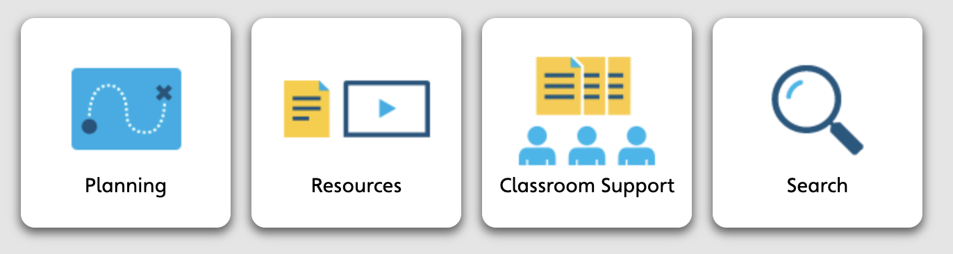
For each Unit, teachers can access planning materials and lesson plans, resources, printable activity booklets and assessments which can be completed in various ways. The Units are split up into 6 Sessions, with each one ending in a Unit Check Out, which forms a final review check or assessment. There are 3 Units for each Year, suggesting that combining them with 3 History topics would produce a year's worth of lessons. Resources can be located quickly using the search function.
A series of free sample lessons are provided - you can take a good look at a KS1 lesson on the UK, and a KS2 lesson on Rivers to see whether this might fit with your own existing curriculum, or take it a step further.
Sample lesson plans to accompany the resources can also be seen on the link above.
I've had a good look through the resources and supporting documents for geography.
There are some familiar topics which receive a fresh look, along with some interesting new areas of study - Year 6 will explore fast fashion, for example, alongside carrying out fieldwork. Year 4, for example includes Rivers (with a focus on the Volga), Migration (including a look at Windrush) and Natural Resources (with a located example of Chile and its copper mines).
In addition to the lesson materials there are Concept toolkits, which allow for the exploration of some of the key underpinning concepts of the Units. These concepts include Change and Location and Place. The materials here introduce strategies to organise class discussions, group work and decision making.
There is plenty of support for writing, such as the inclusion of structure strips for some of the key topics when extended writing is required, which are formatted ready for printing.
Speaking of printing, there is likely to be a lot of printing required to disseminate the very thorough, but lengthy booklets for both pupils and teachers which accompany each Unit. The Year 4 Pupil booklet on the Migration Unit is 31 pages long, for example. Schools would need to factor in a photocopying budget. The booklets are provided in PDF format.
Each pupil booklet starts with a knowledge organiser (you may have your own views on those), and a learning review page to track progress through the Unit. Activities include labelling, cloze text passages, connecting boxes and sorting information as well as writing answers - generally quite short pieces of text, or capturing ideas. The accompanying Teacher booklets will give teachers confidence in what is required, and help pupils through each Session. Pacing is likely to be important here, and the amount of text and visuals may overwhelm some learners.
There is one problematic Unit entitled Slums, which I would not personally use given the language, and could usefully be rebranded as 'Homes: Near and Far', or something similar.
There are differing opinions about the use of the term 'slums' and I understand that Pearson did speak to subject experts and teachers before making the decision to use it. However, they are now consulting with teachers who have bought these resources and will use their feedback to decide whether to update the unit to avoid the term.
One possible omission from the resource is any multimedia material - such as videos which are aimed at use by pupils or teachers - the materials are quite 'static' and a few animations or sound clips with effects would have been helpful for a Primary audience.
There are some videos included, but these are restricted to teacher briefings for each unit from the project's lead: Jon Hutchinson.
In the video below, for example, he talks about the approach that has been taken and the work that has been done so far, which may sound like something that you would find develops your current practice. If so, it would be worth taking out a trial subscription.
This approach will not be for everyone, but given the nature of the profession, as we reset after COVID19 and face other challenges with recruitment and recent financial crises, support of this kind will be welcomed by many.
The Cambridge Primary Review is also a little cautious of the approach taken by some schools and Trusts, suggesting that "children will not learn to think for themselves if their teachers are expected merely to do as they are told."
It is the consistency of approach, format of materials and connection with cognitive science that will provide the appeal for many Primary colleagues.
There will likely be different approaches to using the resources which will probably include adapting them or including a few additional resources such as videos or music.
You can request a FREE TRIAL,and this may be a useful first step to see whether the resources are going to be the answer to your current problems, or a support for colleagues.
Trials run for one month - International schools have two months.
The price to access the Primary Geography content is £400-£450 a year. The current increases in energy and staffing costs mean this will require a careful investment decision. Subscription to the content provides school access to the online content for 12 full months from the date of registration. Teachers accessing the resources via a subscription of this kind must of course be from the same school and use their school email addresses.
For those who want to pair up the Geography content with the History content, the price is £800 for the year for both.
I've also taken a look at the Primary History content, and the structure and focus for each unit is consistent with the Geography content, to provide a consistent experience across the Humanities in schools that go for that option, particularly where teachers may not be subject specialists.
There are also supporting Professional Development courses available through to May 2024, led by John Hutchinson for those who want an additional level of support in finding out how to use the resources to the greatest advantage.
It will take place on Friday the 9th of December and will be online.
I organised a face to face multiplier event to share outcomes from the ERASMUS-funded GI Pedagogy project, but this was not able to attract colleagues because of the challenges of travelling and the business of this term.
The plan now is to have an online meeting instead which I hope that people may be able to attend without the need to travel to Ely.
This will allow me to demonstrate the importance of GIS in the curriculum and the idea of telling stories.
You can also get a sneak preview of the other materials we have produced, including a training course. A chance to have a discussion around GIS too.
Suitable for Primary and Secondary teachers.
I'm going to try again to get this event in before Christmas.
A story from last week, when we launched our energy saving campaign in school.
Ely Cathedral’s Octagon Tower is illuminated red this evening (November 14th) to acknowledge the fact that King’s Ely has launched a campaign to reflect the climate emergency.
Our ‘See Red for Crisis at Christmas’ mission aims to persuade every single student and staff member across our 75-acre campus to be more aware about the energy they are using, and potentially wasting, and the impact that this is having on the environment.
King’s Ely already has environmental impact and climate change high on its agenda, but this campaign aims to inspire lasting change amongst our school community and beyond.
We want an immediate response - lights being turned off in classrooms, day houses, boarding houses, offices and communal areas when they do not need to be on, as well as radiators and electronic devices.
King’s Ely is promising to make a significant donation to the homelessness charity, Crisis, and its ‘Crisis at Christmas’ appeal (www.crisis.org.uk) if a positive change is brought about!
I will be sharing another post once the event is over and the final report and agreements are made public. One hopes that this will result in an agreed plan of action.
During the weeks, students have also been exploring the issues in KS2 and KS3.
As I mentioned in a recent post, I spent five days of the first week of my half term in Iceland.
This introduced me to a couple of new locations which I hadn't visited before - including the car parks and tracks leading to the recent Fagradasfjall lava flows - and also reminded me of a great many that I'd been to previously before the pandemic and I enjoyed experiencing the power of Gullfoss (and the taste of the ice cream at Efstidalur).
There had been some changes in tourst infrastructure in familiar locations with others being constructed e.g. a nice new toilet block at Thingvellir for visitors, and new paths etc.
On future visits I hope to head up to the Westfjords to see some additional new locations which are being added to the itineraries, and which I will also visit on a planned visit with my own school during 2024.
Unit 1: Natural HazardsSlick looking PowerPoint presentation + Activity Sheet Classroom Poster Fagradalsfjall Case Study + Activity Sheet
Unit 2: Energy ResourcesSlick looking PowerPoint presentation Classroom Poster Iceland’s Energy Resources Issue Evaluation (Both digital form-fillable and printable versions)